Trail Car Ait Ouaarda - meknes - Photo
 jpmv
jpmv

User

© OpenStreetMap contributors
Length
Length
305 km
Max alt
Max alt
1333 m
Uphill gradient
Uphill gradient
3473 m
Km-Effort
Km-Effort  
353 km
Min alt
Min alt
442 m
Downhill gradient
Downhill gradient
3868 m
Boucle
Boucle
No
Creation date :
2024-01-08 07:36:42.668
Updated on :
2024-01-08 14:32:03.711

(0 Reviews)

Car
Car
6h54
Difficulty : Very easy

Scan this QR Code to open this trail in the SityTrail application

FREE GPS app for hiking

Logo SityTrail SityTrail

IGN / Geographical institutes

Download SityTrail from the App Store Download SityTrail from Google Play

Logo SityTrail SityTrail World

The world is yours!

Download SityTrail from the App Store Download SityTrail from Google Play Download SityTrail on Huawei AppGallery

About

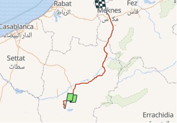
Trail Car of 305 km to be discovered at Béni Mellal-Khénifra, cercle d'Afourar, Ait Ouaarda. This trail is proposed by jpmv.

Elevation profile

Positioning

Country:
Morocco
Region :
Béni Mellal-Khénifra
Department/Province :
cercle d'Afourar
Municipality :
Ait Ouaarda
Location:
Unknown
Start:(UTM)
734780 ; 3556254 (29S) N.

Trails nearby

Trail Walking Ait Taguella - cas ades d'ouzoud  - Photo
Walking
carole5983

Walking

Very easy
Ait Taguella, Béni Mellal-Khénifra, cercle de Bzou, Morocco
2.5 km | 4 km-effort
2h 44min
Yes


Close
My subscriptions